A West Cork community, home to the oldest lifeboat station in the country and with spectacular views and cliff walks, is demanding to be included in the Wild Atlantic Way (WAW).
By Martin Walsh
A WEST CORK community, home to the oldest lifeboat station in the country and with spectacular views and cliff walks, is demanding to be included in the Wild Atlantic Way (WAW).
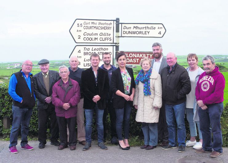
Over 80 people, representing villages and towns on the Seven Heads peninsula, attended a meeting in Butlerstown last week to express their disappointment that areas like Courtmacsherry and Lislevane had been excluded from the world’s longest touring coastal route.
While the route stretches over 2,500km from Kinsale in West Cork to Malin Head in Co Donegal, maps of the route clearly show the Seven Heads has been by-passed (right).
The meeting, chaired by Courtmacsherry businessman Mark Gannon, was given details of a report outlining criteria for inclusion.
‘We absolutely tick every one of these boxes, it’s as if they are talking about us – yet we are bypassed,’ said Mr Gannon.
The meeting was attended by Cllrs Paul Hayes and John O’Sullivan – both residents of Courtmacsherry – and Clonakilty’s Cllr Christopher O’Sullivan, all of whom have given their full support to have the Seven Heads included in the WAW.
Despite being excluded from the official maps of the route, Failte Ireland’s head of the WAW, Fiona Monaghan, told The Southern Star: ‘I would like to reassure you that Courtmacsherry/Barryroe and all areas west of the R600 are a key component of the Wild Atlantic Way.’
She said the WAW is an ‘over-arching brand’ under which individual destinations and businesses can trade collectively with much greater potential visibility and clarity of message in the international marketplace.’
She said the signed route was designed to ‘merely act as a device to guide visitors’. The geography of the Wild Atlantic Way as laid out in the Operational Programme 2015-2019 is the area surrounding the spine of the route itself, the landmass to the west of the route as far as the coast and the immediate landmass to the east of the route,’ she added.
Ms Monaghan said her comments ‘should allay perceived concerns over Courtmacsherry’s location on the Wild Atlantic Way’.
She added: ‘My colleague Josephine O’Driscoll and I are willing to come and meet with local tourism interests and communities to discuss opportunities to work together to help the communities of Courtmacsherry, Barryroe and other localities to maximise the opportunities presented by the Wild Atlantic Way.’
Speaking to The Southern Star in 2014, Ms Monaghan said that while the route is reviewed every ‘couple of years’, the narrow roads along some of the route left it unsuitable for tourists.
She said that there were stretches of the roadway between Timoleague and Courtmacsherry where it would not be comfortable for two cars to pass each other.
This was a cause of concern, she added, due to the number of foreign motorists using the route. She also said that ‘where there are upgrades and improvements, we will consider those sections’. But in the main, she added, the route has been signed off for the ‘foreseeable future.’
Following the meeting in Butlerstown, a committee was set up to further lobby for more recognition for the area.


